The Ministry of Public Works is responsible for maintaining Bermuda’s critical assets and providing essential services. The Ministry manages and maintains public lands, buildings, highways, roads, water supplies and parks, provides essential services such as waste collection, sewage, land title and registration and land valuation.
Project Profile
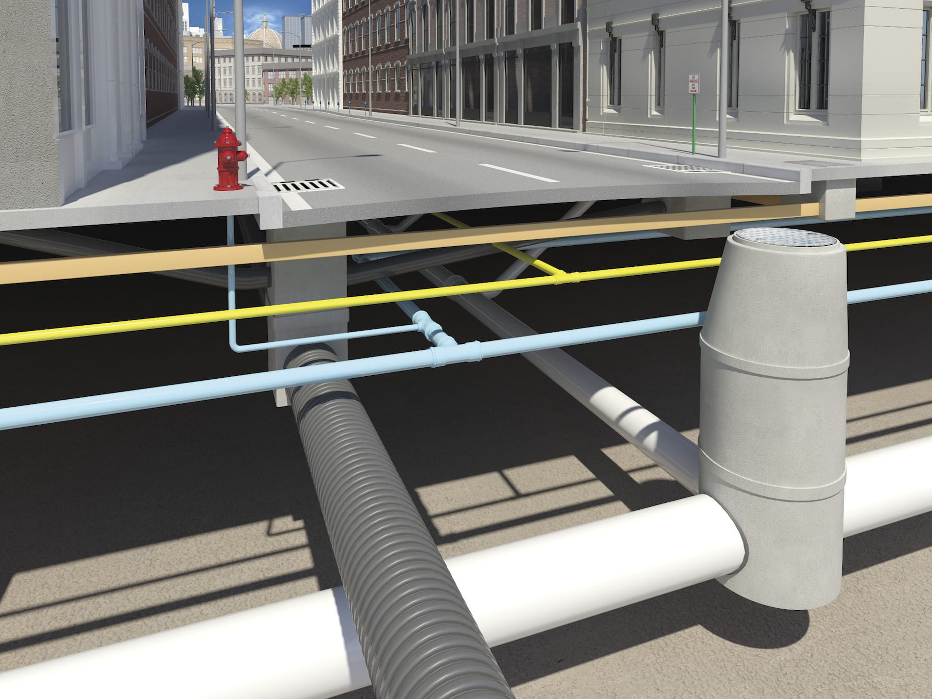
In Bermuda, the Works and Engineering/Estates departments within the Ministry of Public Work, Government of Bermuda upgraded from Civil 3D 2011 to 2018 overnight. This sudden transition required their 8-person team to get up to speed in record time. Their training needs ranged from basic to advanced, and they also wanted to optimize data interchange between surveyors and the team.
To learn more about other SolidCAD Customer Success Stories featured on the Autodesk Partner Finder, click here.
Testimonial
Because we are a branch of government, we needed to get three estimates for the work required. We reached out to multiple service providers in the U.S. and Canada. SolidCAD was incredibly responsive. They provided an intricately detailed proposal, and their prices were competitive. This was a remarkable engagement from start to finish, and the onsite trainer relayed his knowledge expertly.
- Carolina Drew, Highway Design Engineer, MIHE
Similar Projects
Énergir
Énergir, Québec's leading natural gas distributor, collaborated with SolidCAD to transition from MicroStation DGN to AutoCAD DWG, enhancing data accuracy, field safety, and interdepartmental collaboration.[...]
PROCEPACK is a firm specializing in the purchase and sale of packaging and process equipment. They serve customers from a wide range of industries from food and cosmetics to pharmaceuticals. They leverage their vast and…
Public transportation – buses, trains, subways, and more – have a wide range of complex assets that are both mobile and stationary. Upgrades, expansions, and new assets become intricate engineering projects involving a broad array of[...]
Recently the SolidCAD civil team conducted the first Infrastructure Road Show series across Western Canada!
Our roadshow series was designed to uncover emerging technologies and new software, share best practices and industry trends and provide you with the best tips and tricks to streamline your workflow and finish your project faster.
As those who attended know, there was a lot of information shown so feel free to download the Powerpoint files and view them at your own pace.
Autodesk has released the first update for Civil 3D 2019. It is called the Civil 3D 2019.1 Update. As is the new norm, updates contain fixes and also feature enhancements. You can discover all of the details in the official Autodesk ReadMe; I’ve outlined some of the highlights below.
Not everyone reads the readme before installing, so to avoid the likely error message that 2019.1 will not install…The AutoCAD 2019.1 Update is a prerequisite of the Civil 3D 2019.1 Update and must be applied prior to installing the update.
New Features
• Rail tools and content.
• Rail alignment offsets and cant support.
• Sample line groups can now be data referenced.
• Multiple connection points for pipe structures.
• Publish a surface to BIM 360 for consumption in Revit. Fixes
• Data shortcut performance improvements.
• Pipe rules are no longer automatically applied. (See this article.)
• Vault fixes.
• Many other defects have been addressed.
Please note, this issue seems to have been fixed with the release of Civil 3D 2019.1.
————
If you are still having issues with Civil 3D 2019 installed and you’re using pipe networks, please read this message.
I have fielded two recent technical support cases exhibiting behavior that may not be immediately obvious, but is quite serious. Edits to a surface can cause pipe rules to be automatically applied, changing pipe invert elevation when doing so. Pipe rules should never be applied like this, they should only be applied when first creating pipes and then when manually invoking the Apply Pipe Rules tool.
My customer edits a feature line elevation and his pipes all change invert elevations. When the feature lines are edited, the surface updates, the rules are applied, and the inverts change. Imagine this is a relatively minor edit on a Friday after which you print the construction documents without first looking at the pipes in profile. Why would you? The rules aren’t supposed to apply when a surface is edited.
Other users are experiencing this issue and Autodesk is aware is the problem. Let’s hope that this is fixed in the next Civil 3D update.
Here are your workarounds:
Use 2018. This may be a feasible workaround because the two are compatible.
Delete all of your pipe rules in any drawing that contains pipes. Not the rule set, just the rules within the set. There are no rules, so none can be applied when your surface changes. Be careful though, if you have any reference styles and they are reloaded, the rules may get applied. This does not work with surfaces that are DREFd into a pipe drawing. Imagine that you edit your surface and save the file. Then you open the pipes drawing, the surface updates instantly and the pipe rules get applied instantly as well.
There has been a significant change to Infraworks’ services.
1. It will no longer be possible to create new analyses such as Watershed, Traffic, Line Girder, Profile, and Corridor in 2018.2 and earlier versions of Infraworks. In addition, web and mobile views will need to be recreated.
Upgrading to Infraworks 2019 when it becomes available is required to use these features. This step was taken to improve the security of your data by meeting SOC2 standards, and to conform to new EU data protection regulations.
Autodesk has released the latest update for its Infraworks application. You will find information about the update in the team webcast found here. The update is not yet available as of January 2, 2018, but check your Desktop App or Autodesk Account for it in the very near future.
A brief look at the new features…
Reality Capture
Linear breakline extraction improvements.
Linear breakline editing tools.
Camera image lookup from point cloud scans.
Road Modeling
PI and Element based modeling.
Element editing improvements.
Quantities
Calculate drainage quantities by up to 4 depth ranges.
Utility and generic quantities by style.
QTO visualization.
Bridge Modeling
Manage parametric content.
Use inventor assemblies.
Export template for use in other models.
Automatic bridge creation over water has been removed.
Autodesk has released the latest update for its AutoCAD 2018 application. You will find information about the update here. The update can be installed with the Desktop App or by downloading it from Autodesk Account.
A brief look at the changes:
Xref layers override improvements.
View and viewport improvements. Please note that if this update is applied to Civil 3D, these improvements are available, but do not appear in the ribbon. See this document for details.
For every project, we either use out-of-the-box styles or create new styles to meet specific requirements of the company we work for or the project we are working on.
Once they are included in our template, we have everything covered, right?
But what if you need to display a property of an object that isn’t available under the Label Style Composer? Or maybe we want to display the label in a different way based on a certain value of the object?
First, let’s take a quick look at the fundamentals of the Expressions.
Expressions are located under the Settings tab of the Toolspace, under the Label Styles folder. (See Picture Below)
The New Component dialogue box consists of a number of components that are used to create the Expression.
In the Name field enter a relevant, identifiable name for your Expression
The Expression field will contain all the formulas and properties as the Expression is developed.
Buttons that may be used to aid in the development of the Expression (you can enter by the keyboard if you prefer)
The available object properties that may be inserted in the Expression field.
Functions that may be used in the development of the Expression
Choose how the results of the Expression are to be formatted. Usually always Double. (Unitless)
EXAMPLE
Let’s use an example and create an Expression that will truncate a pipe length label to the nearest 0.50 metre.
We get this request at times because not everyone wants the accuracy of a pipe length shown to the tenth of a metre.
To create the Expression right click on the “Expressions” and select New (See Image Down Below)
here are the STEPS
STEP 1:
In the dialogue box enter a name and description for the Expression that reflects the resultant label style. (Image 1)
STEP 2:
Pick the Formula button to expand the Expression Functions, in our case select the ROUND function (Image 2)
NOTE: The image to the right shows an arrow pointing to a button that inserts the ROUND function to the Expression window.
STEP 3:
Next we need to add the Object Property by picking the Object the Properties button and picking the appropriate Property.
In our case we will select 2D Length-Center to Center which is automatically inserted into the Expression window. (See Images Below)
Now we just need to add a little more math to complete the Expression and then click OK.
STEP 4:
The new Expression will be displayed in the Preview window of the Toolspace>Settings tab under the Pipe Label Styles and is now available to be applied to a pipe label
To add the Expression to the Label Style create a New pipe Label by copying and editing an existing style.
STEP 5:
Copy the default Length Description and Slope label style and rename it Rounded Length and Slope (See Picture Below)
[/vc_column_text]
Then select the Layout tab and in the Text section on the Contents row pick the corresponding cell in the Value column and pick the Ellipse button to access the Text Component Editor. (As seen in the picture below)
[
In the preview window of the Component editor highlight the “2D Length…” string and press delete to remove it from the label.
STEP 6:
In the Properties section pick the down arrow and locate the “Pipe Length to Nearest 0.5m” Expression that was created, set the Precision to 0.1 and click the UPDATE arrow to update the label in the preview window.
Click OK twice to closer the Component Editor and Label Composer.
Apply the new pipe label to the pipe object and the center to center length with be rounded to the nearest 0.50m.


_hr")

")


 [/vc_column_text]
 [
[