• Civil 3D Viewports

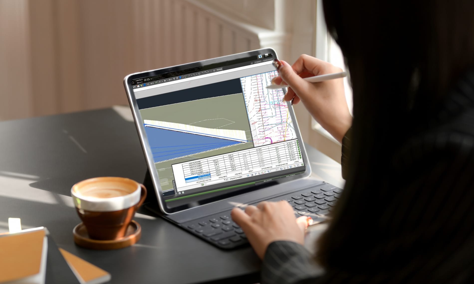
    A little tip today.  Have you ever zoomed out within a profile viewport and your surfaces and alignments are not there?  The two viewports shown below are nearly identical except the one on the bottom doesn’t display any Civil 3D plan objects, such as the surface and alignment.  Why is this?  No, layers are not frozen or off in the lower viewport.

    Civil 3D has its Plan Production feature which automates the creation of Paper Space layouts, typically for plan and profile construction drawings.  The way it has been implemented is that your drawing template (DWT) will contain a sample paper space layout containing pre-configured viewports.  And those viewports are required to have set a specific property called Viewport Type.

    In the image above, the top viewport is set to Plan and the bottom is set to Profile.  When the viewport type is set to Profile, Civil 3D plan objects such as surfaces, alignments, and corridors are not displayed.  This is presumably to conserve performance, but if you’re unaware of this feature, it can be confusing.

    Civil 3D 2019 Update 2

    A new update for Civil 3D 2019 has just been released.  You can find it in the usual places; the Desktop App or your Autodesk Account.  Here is the ReadMe; note that AutoCAD 2019.1.2 must be installed prior to this new Civil 3D update.

    See this video outlining some of the new functionality.

    As always, updates contain fixes to known defects and some new functionality.  Here are the notable new features:

    • Transparent commands are now included in their own ribbon.
    • Transparent commands can now be accessed via the right click menu.
    • There is some new transparent command functionality with Alignment Station and Offset.  This in the name of efficiency and it’s an excellent addition.
    • Linear crossings in profile views.  This is, in this blogger’s opinion, is arguably revolutionary!  For many years users have requested the ability to display in profile where something crosses your alignment.  Another alignment, feature line, etc.  now we can.
    • UNC paths for projects.
    • Sample lines data shortcuts are “Vaultable”.
    • Property set data is supported in LadnXML.
    • Rail platform edge improvements.


    Civil 3D 2019.1 Update

    Autodesk has released the first update for Civil 3D 2019. It is called the Civil 3D 2019.1 Update. As is the new norm, updates contain fixes and also feature enhancements. You can discover all of the details in the official Autodesk ReadMe; I’ve outlined some of the highlights below.

    Not everyone reads the readme before installing, so to avoid the likely error message that 2019.1 will not install…The AutoCAD 2019.1 Update is a prerequisite of the Civil 3D 2019.1 Update and must be applied prior to installing the update.

    New Features
    • Rail tools and content.
    • Rail alignment offsets and cant support.
    • Sample line groups can now be data referenced.
    • Multiple connection points for pipe structures.
    • Publish a surface to BIM 360 for consumption in Revit.
    Fixes
    • Data shortcut performance improvements.
    • Pipe rules are no longer automatically applied. (See this article.)
    • Vault fixes.
    • Many other defects have been addressed.

    Civil 3D 2019 Pipe Networks

    Please note, this issue seems to have been fixed with the release of Civil 3D 2019.1.

    ————

    If you are still having issues with Civil 3D 2019 installed and you’re using pipe networks, please read this message.

    I have fielded two recent technical support cases exhibiting behavior that may not be immediately obvious, but is quite serious.  Edits to a surface can cause pipe rules to be automatically applied, changing pipe invert elevation when doing so.  Pipe rules should never be applied like this, they should only be applied when first creating pipes and then when manually invoking the Apply Pipe Rules tool.

    My customer edits a feature line elevation and his pipes all change invert elevations.  When the feature lines are edited, the surface updates, the rules are applied, and the inverts change.  Imagine this is a relatively minor edit on a Friday after which you print the construction documents without first looking at the pipes in profile.  Why would you?  The rules aren’t supposed to apply when a surface is edited.

    Other users are experiencing this issue and Autodesk is aware is the problem.  Let’s hope that this is fixed in the next Civil 3D update.

    Here are your workarounds:

    • Use 2018.  This may be a feasible workaround because the two are compatible.
    • Delete all of your pipe rules in any drawing that contains pipes.  Not the rule set, just the rules within the set.  There are no rules, so none can be applied when your surface changes.  Be careful though, if you have any reference styles and they are reloaded, the rules may get applied.  This does not work with surfaces that are DREFd into a pipe drawing.  Imagine that you edit your surface and save the file.  Then you open the pipes drawing, the surface updates instantly and the pipe rules get applied instantly as well.


    InfraWorks

    InfraWorks 

    There has been a significant change to Infraworks’ services.

    1. It will no longer be possible to create new analyses such as Watershed, Traffic, Line Girder, Profile, and Corridor in 2018.2 and earlier versions of Infraworks.  In addition, web and mobile views will need to be recreated.

    Upgrading to Infraworks 2019 when it becomes available is required to use these features.  This step was taken to improve the security of your data by meeting SOC2 standards, and to conform to new EU data protection regulations.

    Click this link to learn more.

    2. The following services will be retired.

    a. Create Civil 3D drawings from InfraWorks models.

    b. Some cloud-based data translation. Additional software may be required to be installed onto your workstations.

    Click this link to learn more.


    Infraworks 2018.2

    Infraworks 2018.2

    Autodesk has released the latest update for its Infraworks application.  You will find information about the update in the team webcast found here.  The update is not yet available as of January 2, 2018, but check your Desktop App or Autodesk Account for it in the very near future.


    A brief look at the new features…

    Reality Capture

    • Linear breakline extraction improvements.
    • Linear breakline editing tools.
    • Camera image lookup from point cloud scans.

    Road Modeling

    • PI and Element based modeling.
    • Element editing improvements.

    Quantities

    • Calculate drainage quantities by up to 4 depth ranges.
    • Utility and generic quantities by style.
    • QTO visualization.

    Bridge Modeling

    • Manage parametric content.
    • Use inventor assemblies.
    • Export template for use in other models.
    • Automatic bridge creation over water has been removed.


    Vehicle Tracking Update 2018.1

    Vehicle Tracking Update 2018.1

    Autodesk has clearly spent considerable resources developing this update.  There are many fixes and enhancements in this Vehicle Tracking 2018.1 update.  You will find information about the update here.  Click this link to view a recorded webinar.  The update can be installed with the Desktop App or by downloading it from Autodesk Account.

    There is one critical change that will affect all users.  There has been a mid-cycle format change for the vehicle tracking objects.  Don’t worry, the drawing format is not changing, just the vehicle tracking objects; roundabouts, swept paths etc.  What this means is if a drawing is saved with 2018.1 and then opened in 2018 without the update, the vehicle tracking objects will appear as proxy objects and therefore not editable.  All users’ workstations must be updated concurrently.

    Since grip-editing is very popular method for editing vehicle tracking objects, it is recommended to install the Map 3D hotfix previously blogged.

    A brief look at the changes:

    • Object format change.
    • Get units from the drawing.
    • Parking tool enhancements.
    • The majority of the enhancements are related to roundabouts and their corridors.
      • Better baseline and region development.
      • Slip lanes are now 3-dimensional.
      • Fixed overlapping corridor links.
    • Defect fixes.


    Civil 3D Update 2018.1

    Civil 3D Update 2018.1

    Autodesk has released the latest update for its Civil 3D 2018 application.  You will find information about the update here.  Click this link to view a recorded webinar.  The update can be installed with the Desktop App or by downloading it from Autodesk Account.

    A brief look at the changes:

    • New corridor rehab workflows and subassemblies.
    • Crossings and projections improvements.
    • The new Infrastructure Parts Editor introduced with Infraworks 2018 is now supported in Civil 3D.
    • Reference templates improvements.
    • Defect fixes.


    Update: Canada Ontario Styles Kit for Civil 3D Now Available!

    Canada Ontario Styles Kit for Civil 3D

    The Canada Ontario Styles Kit is available to download and contact SolidCAD today!

    Here are some Key Highlights  listed below:

    • DWT template containing Ontario Civil 3D settings and object/ label styles
    • Plan, Profile and Plan and Profile (MTO)template sheets
    • Predefined assemblies for creating intersections
    • Pay Item Data based on Ontario Provincial Specifications categories and MTO Contract Preparation System(CPS)
    • Pipe and Structure catalogue based on Ontario Provincial Standard Drawings
    • Figure Prefix Library and Description Keys specific to MTO Surveys and Plans standards
    • TAC (metric) design criteria for roadways
    • NCS Layers
    • MTO IESCAD Layers
    • Linetypes and Hatch Patterns
    • MTO IESCAD .LIN and .PAT files
    • MTO Description Keys
    • MTO Point Marker and Label Styles
    • MTO Survey Settings and Styles
    • MTO Alignment Object
    • MTO Stationing Styles
    • TAC Design Criteria
    • TAC Superelevation Tables
    • Preset “Assembly Set” created for Intersection wizard
    • Pipe and Structure Labels
    • Pipe and Structure Rules
    • OPSD Pipes Catalog
    • OPSD Pay Items and Categories
    • MTO – CPS Pay Items and Categories