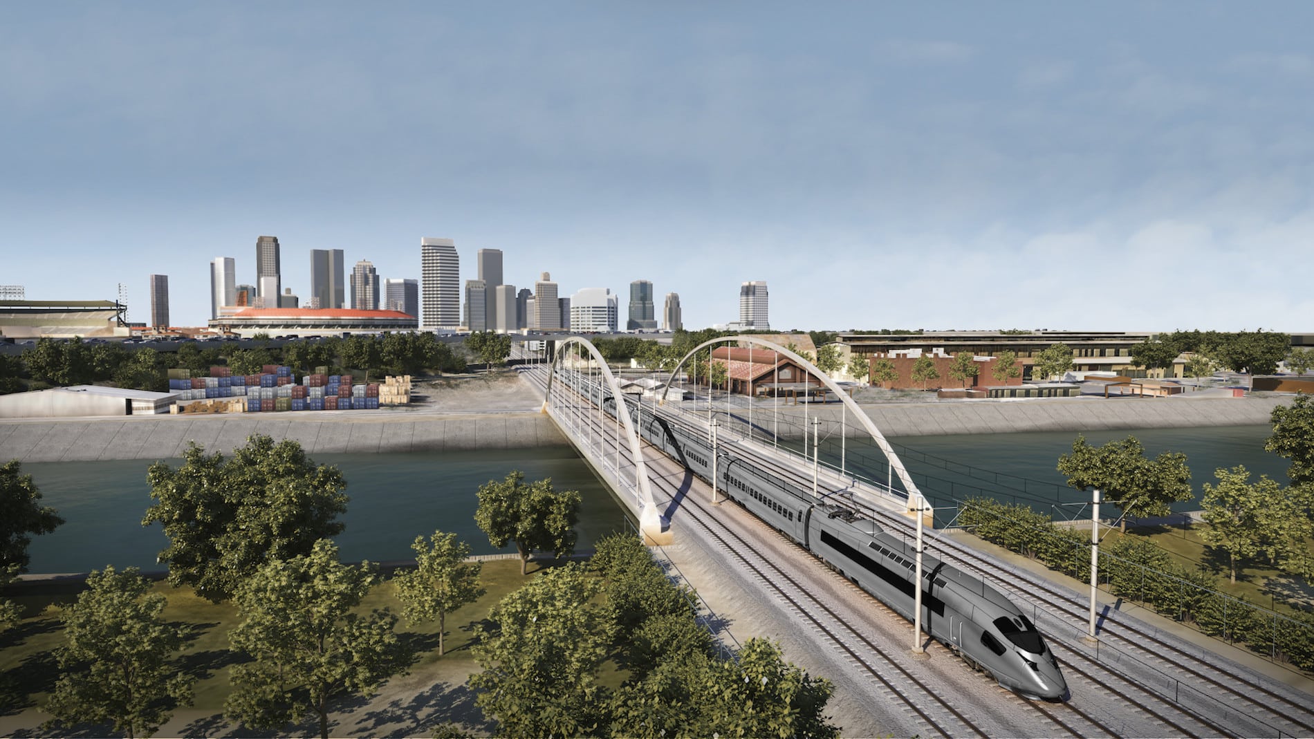
• Civil 3D 2019 Pipe Networks

    Please note, this issue seems to have been fixed with the release of Civil 3D 2019.1.

    ————

    If you are still having issues with Civil 3D 2019 installed and you’re using pipe networks, please read this message.

    I have fielded two recent technical support cases exhibiting behavior that may not be immediately obvious, but is quite serious.  Edits to a surface can cause pipe rules to be automatically applied, changing pipe invert elevation when doing so.  Pipe rules should never be applied like this, they should only be applied when first creating pipes and then when manually invoking the Apply Pipe Rules tool.

    My customer edits a feature line elevation and his pipes all change invert elevations.  When the feature lines are edited, the surface updates, the rules are applied, and the inverts change.  Imagine this is a relatively minor edit on a Friday after which you print the construction documents without first looking at the pipes in profile.  Why would you?  The rules aren’t supposed to apply when a surface is edited.

    Other users are experiencing this issue and Autodesk is aware is the problem.  Let’s hope that this is fixed in the next Civil 3D update.

    Here are your workarounds:

    • Use 2018.  This may be a feasible workaround because the two are compatible.
    • Delete all of your pipe rules in any drawing that contains pipes.  Not the rule set, just the rules within the set.  There are no rules, so none can be applied when your surface changes.  Be careful though, if you have any reference styles and they are reloaded, the rules may get applied.  This does not work with surfaces that are DREFd into a pipe drawing.  Imagine that you edit your surface and save the file.  Then you open the pipes drawing, the surface updates instantly and the pipe rules get applied instantly as well.

     

    InfraWorks

    InfraWorks 

    There has been a significant change to Infraworks’ services.

    1. It will no longer be possible to create new analyses such as Watershed, Traffic, Line Girder, Profile, and Corridor in 2018.2 and earlier versions of Infraworks.  In addition, web and mobile views will need to be recreated.

    Upgrading to Infraworks 2019 when it becomes available is required to use these features.  This step was taken to improve the security of your data by meeting SOC2 standards, and to conform to new EU data protection regulations.

    Click this link to learn more.

    2. The following services will be retired.

    a. Create Civil 3D drawings from InfraWorks models.

    b. Some cloud-based data translation. Additional software may be required to be installed onto your workstations.

    Click this link to learn more.


    Infraworks 2018.2

    Infraworks 2018.2

    Autodesk has released the latest update for its Infraworks application.  You will find information about the update in the team webcast found here.  The update is not yet available as of January 2, 2018, but check your Desktop App or Autodesk Account for it in the very near future.


    A brief look at the new features…

    Reality Capture

    • Linear breakline extraction improvements.
    • Linear breakline editing tools.
    • Camera image lookup from point cloud scans.

    Road Modeling

    • PI and Element based modeling.
    • Element editing improvements.

    Quantities

    • Calculate drainage quantities by up to 4 depth ranges.
    • Utility and generic quantities by style.
    • QTO visualization.

    Bridge Modeling

    • Manage parametric content.
    • Use inventor assemblies.
    • Export template for use in other models.
    • Automatic bridge creation over water has been removed.


    Civil 3D Update 2018.2

    Civil 3D Update 2018.2

    Autodesk has released the latest update for its Civil 3D 2018 application.  You will find information about the update here.  The update can be installed with the Desktop App or by downloading it from Autodesk Account.

    Remember, these new types of releases are not simply service packs.  There are certainly fixes to defects, but there is new functionality to be had these days.


    A brief look at the changes:

    Various defect fixes.

    Profile Layout Direction:

    Some profile entities can now be drawn right to left as well as left to right.

    Vertical Curves in Offset Profile Slope Transition Regions:

    Vertical curves are now created in slope transition regions for offset profiles.

    Rail Turnouts and Crossings Commands:

    Create and edit rail turnouts and crossovers.

    Subassemblies:

    A variety of new PKT-format subassemblies are included in this update.

    The Use Targets On the Same Side As the Subassembly check box was added to the Set Width Or Offset Target dialog box in the AutoCAD Civil 3D 2018.1 Update.

    Pressure Network Content:

    New metric and imperial pressure network content is included in this release.

    3D Solid Crossing Appearance Control in Section Views:

    Control the appearance of 3D solid crossings that use the style option by modifying the properties of the 3D solid layer.

    Multi-Select Projection and Crossing Styles in Section Views:

    Control the appearance of crossing and projected objects and labels using Shift-select and Ctrl-select.

    Autodesk Civil Engineering Data Translator:

    Translate AutoCAD® Civil 3D® files to files that can be used in Bentley® GEOPAK® and Bentley®InRoads®, and translate GEOPAK and InRoads files to files that can be used in AutoCAD Civil 3D.

    Civil 3D 2018 and Large Surfaces

    Civil 3D 2018 and Large Surfaces

    If you have recently upgraded to Civil 3D 2017 or 2018 or are planning to AND you work with large surfaces (I’ll let you define what a large surface is) you’ll want to read this article!

    If you want to skip past all the history and get to the point, the short story is, 2017 and 2018 store the entire surface definition within DREF drawings and this affects performance. This option can be turned off.

    Most Civil 3D users know that a large surface should be created in one file and Data Referenced (DREF’d) to another file for use in such things as profiles and corridors. This helps reduce errors and improves performance.  2017 and  2018 are no different, but it contains a new feature which is meant to help another occasional user issue.

    When DREFs were introduced they were, and still are, susceptible to the source file being moved. If the source file is moved, not unlike an AutoCAD XREF, the source object cannot be found and the DREF drawing is empty.

    Civil 3D 2014 introduced a new feature where all Data References (except surfaces) are actually stored in the DREFd drawing file. If an alignment’s source DWG cannot be found, it’s no problem since the alignment actually lives in the DREFd file.  It’s still a DREF and it will still synchronize when the source file is found, but at least there’s something in the drawing and not a blank slate.  There is no option to turn this feature off, and you likely wouldn’t want to.

    Surfaces were not included with this feature because they can be very large and performance would suffer in the DREF file. They weren’t included, that is, until Civil 3D 2017.  Entire surface definitions are now stored in DREF files.  If the source file is lost, you still have your surface.  This is great for drawings containing few or small surfaces, but it can drastically affect performance for large surfaces.

    If your source surface is big enough to require an MMS file, there will be a second MMS file for the DREF drawing. These can be very large.  Not only does your drawing performance suffer, but now your hard disk must contain the additional MMS file.

    This option is ON by default and I’d leave it there if you primarily work with smallish surfaces. I’d turn it off if you typically work with big ones.  There are two options:

    1. Change the setting in your template (DWT) so that future drawings will have the option set as you wish.
    2. Change the option afterward for drawings containing existing surface DREFs.

    The DWT setting can be found in the Civil 3D Settings tab:

    If a surface has already been DREF’d, the option can be changed in the Prospector:2018 has been an excellent version and this feature is welcome to most, but beware of large surfaces.

    Vehicle Tracking Update 2018.1

    Vehicle Tracking Update 2018.1

    Autodesk has clearly spent considerable resources developing this update.  There are many fixes and enhancements in this Vehicle Tracking 2018.1 update.  You will find information about the update here.  Click this link to view a recorded webinar.  The update can be installed with the Desktop App or by downloading it from Autodesk Account.

    There is one critical change that will affect all users.  There has been a mid-cycle format change for the vehicle tracking objects.  Don’t worry, the drawing format is not changing, just the vehicle tracking objects; roundabouts, swept paths etc.  What this means is if a drawing is saved with 2018.1 and then opened in 2018 without the update, the vehicle tracking objects will appear as proxy objects and therefore not editable.  All users’ workstations must be updated concurrently.

    Since grip-editing is very popular method for editing vehicle tracking objects, it is recommended to install the Map 3D hotfix previously blogged.

    A brief look at the changes:

    • Object format change.
    • Get units from the drawing.
    • Parking tool enhancements.
    • The majority of the enhancements are related to roundabouts and their corridors.
      • Better baseline and region development.
      • Slip lanes are now 3-dimensional.
      • Fixed overlapping corridor links.
    • Defect fixes.


    Civil 3D Update 2018.1

    Civil 3D Update 2018.1

    Autodesk has released the latest update for its Civil 3D 2018 application.  You will find information about the update here.  Click this link to view a recorded webinar.  The update can be installed with the Desktop App or by downloading it from Autodesk Account.

    A brief look at the changes:

    • New corridor rehab workflows and subassemblies.
    • Crossings and projections improvements.
    • The new Infrastructure Parts Editor introduced with Infraworks 2018 is now supported in Civil 3D.
    • Reference templates improvements.
    • Defect fixes.


    AutoCAD Update 2018.1

    AutoCAD Update 2018.1

    Autodesk has released the latest update for its AutoCAD 2018 application.  You will find information about the update here.  The update can be installed with the Desktop App or by downloading it from Autodesk Account.

    A brief look at the changes:

    • Xref layers override improvements.
    • View and viewport improvements.  Please note that if this update is applied to Civil 3D, these improvements are available, but do not appear in the ribbon.  See this document for details.
    • High resolution monitor support.
    • Defect fixes.


    Civil 3D / Map 3D Hotfix

    Civil 3D / Map 3D Hotfix

    Autodesk has release a new hotfix for Civil 3D and map 3D 2018.  The issue occurs when grip-editing an AutoCAD arc and some other objects.  The position of the mouse is different from the position of the grabbed vertex. 

    SolidCAD

    The issue occurs when you move the vertex a second time within the same selection and only for AutoCAD Objects.  There are two other problems this hotfix addresses.

    Click here to for more information and to download the hotfix.  Download the ZIP file and be sure to read the “hotfix readme.txt” file for installation instructions.


    Software Update for Autodesk Civil 3D

    Performance Enhancement Tool for Autodesk Civil 3D 2014-2017

    Autodesk has received reports of major performance issues when opening, purging and plotting Civil 3D drawings in versions 2014-2017.

    For Civil 3D 2017, the performance enhancement tool is part of Service Pack 1.1 and the recent release of Service Pack 3 for Civil 3D 2016 addresses this issue however earlier versions require an update applied to each user machine.

    Please use the following link to review details on the issue and download the appropriate updates.